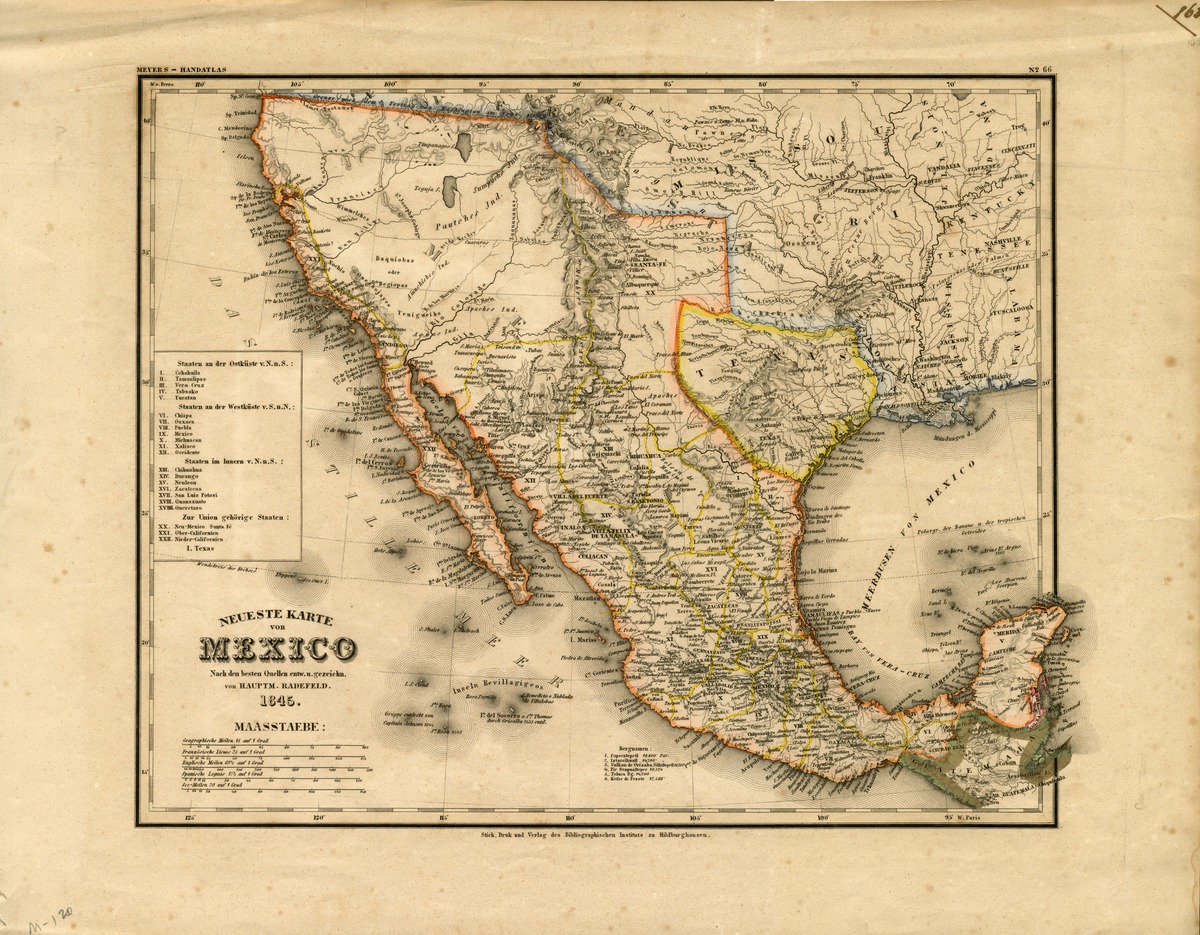
Neueste Karte von Mexico, nach den besten Quellen entw. u. gezeichn. von Hauptm. Radefeld. 1845.Show full item record
| Title | Neueste Karte von Mexico, nach den besten Quellen entw. u. gezeichn. von Hauptm. Radefeld. 1845. |
|---|---|
| Author | Unknown author |
| Date | 1845 |
| Description | Texas is a republic. Mexico extends north to the present California-Oregon border. States and their capitals and many towns in the south-central U.S. are shown. Text in German. In Meyers handatlas. |
| Link | https://repository.tcu.edu/handle/116099117/11503 |
| Subject | Mexico |
